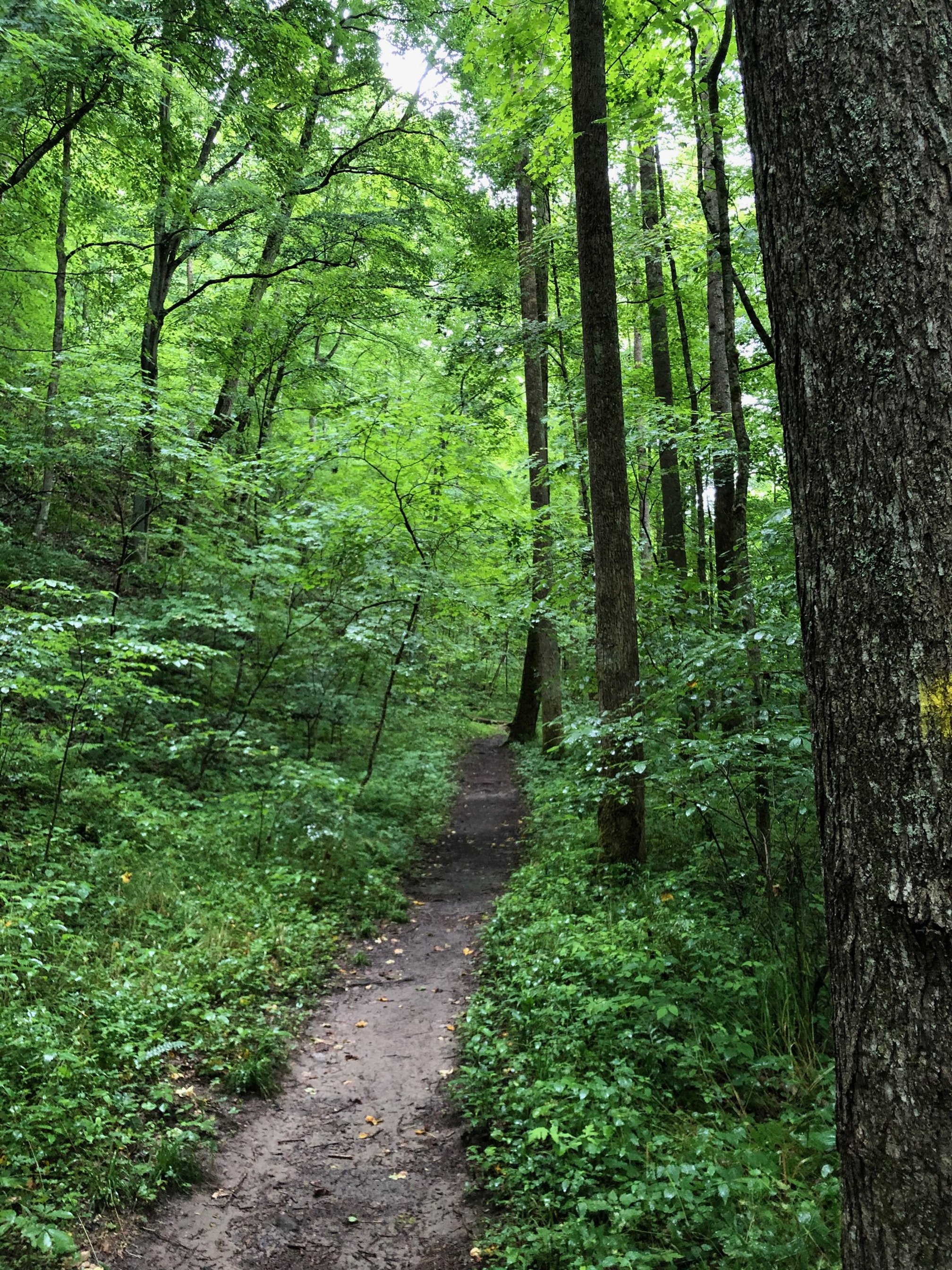
KANAWHA STATE FOREST TRAIL SYSTEM
The trail system in Kanawha State Forest provides access to some of the most beautiful scenery in southern West Virginia. Whether you enjoy hiking, mountain biking, trail running or just taking a walk under the canopy of trees with your family, the trails in the park offer a wide range of outdoor adventures for everyone.
In total, there are about 60 miles of single track trail open to hikers, mountain bikers and runners, with a few of the trails limited to pedestrian traffic only. Every trail is marked with signage at entrances and intersections, and all the trails are blazed, making them easy to follow. Each trail offers a different experience and you can choose from short, easy options that can be enjoyed by families with younger children to much more challenging trails that will test your fitness.
There is also the Salamander Trail, a short 1/4 mile loop that is paved for wheelchair access, and which has a range of interesting educational signs along its route. There is a handicapped toilet in the parking lot for this trail.
In addition to the single track trails in the forest, there are a number of designated forest roads open for horse riding. While horses are not allowed on any of the single track trails in the forest, nor on the Salamander Trail, there are nearly 40 miles of forest roads offering a huge range of options for equestrian adventures.
Whichever adventure you choose - hiking, mountain biking, trail running or just taking an easy walk to enjoy the beauty of nature - Kanawha State Forest has a trail you will love.
Trail maintenance is handled by the Trail Coordinator and staff from the Superintendent’s Office, with significant manpower also provided by the volunteers from the Kanawha Valley Trail Alliance and others. If you are interested in helping, you can contact either the Kanawha State Forest Foundation, the Kanawha Valley Trail Alliance or the Superintendent’s Office to find the next opportunity to volunteer.
Free trail maps are available in the gift shop at the Forest Office, and here is a link to the online map.


